Maps
Visit our office during normal buisness hours to view and make copies of these maps. Resources available include:
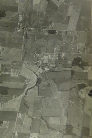
- Aerial Photographs of Montgomery County: 1956, 1962, 1970, and 1983.
- Montgomery County Soil Survey: 2004 tables and text
- Montgomery County Wetlands
- Montgomery County U.S. Geological Survey Topographical Maps
- Montgomery County Ground Water Resources Map (well yields)
- Montgomery County Ohio Flood Insurance Rate Maps from 2005
Online maps of soil types can be accessed through the Web Soil Survey (WSS). It is operated by the USDA Natural Resources Conservation Service (NRCS) and provides access to the largest natural resource information system in the world. The site is updated and maintained online as the single authoritative source of soil survey information. Soil surveys can be used for general farm, local, and wider area planning.
Online maps for Groundwater Resources, Flood Maps, Ohio Lowhead Dams, Water Well Logs, and many other water resources related maps and publications can be found on the Ohio Department of Natural Resources, Division of Water Resources site.

